Find It Right The First Time!
Utility Surveying
Utility Surveying (2D Topography And 3D Utility Surveys)
When planning any kind of design or excavation work on a major construction project, on site subsurface utilities must be easily identified in details by the on site personnel.
Why Do I Need To Have Utility Mapping Completed?
The consequences of a utility strike can be devastating – for the local community as well as your project. Striking gas pipes could lead to a serious explosion and fatalities; striking an electrical cable could cause serious injuries or fatalities to site crew and cause a major power outage in the area.
Why Choose Geoscope To Complete The Utility Survey?
Geoscope specialise in the detecting the precise location of underground utilities, buried pipes and cables in Sydney and the surrounding areas. Using the latest technology and our vast experience we can locate all traceable underground services, pipes and cables, and various conductive and non-conductive utilities.
Who Should Use Utility Mapping?
Anybody planning to break ground should be arranging for a utility mapping survey to be completed before any excavation activities begin.
Some Of The Most Common Utility Mapping Users Are
Local Authorities Councils
Roads and Maritime RMS
NSW Government
Road networks developments
Industrial, manufacturing and retail
Civil infrastructure design, planning and construction
Hospitals and Health NSW
Sydney Airport
Sydney Trains Rail
Sydney Water
What’s involved in a utility survey?
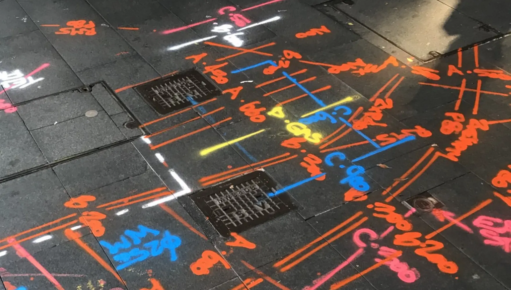
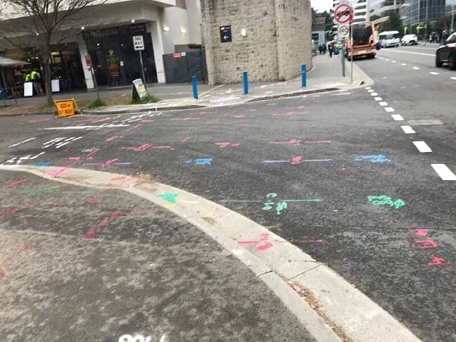
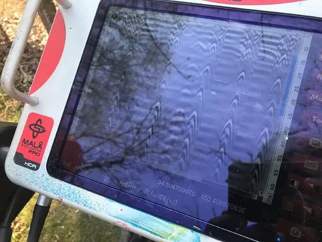
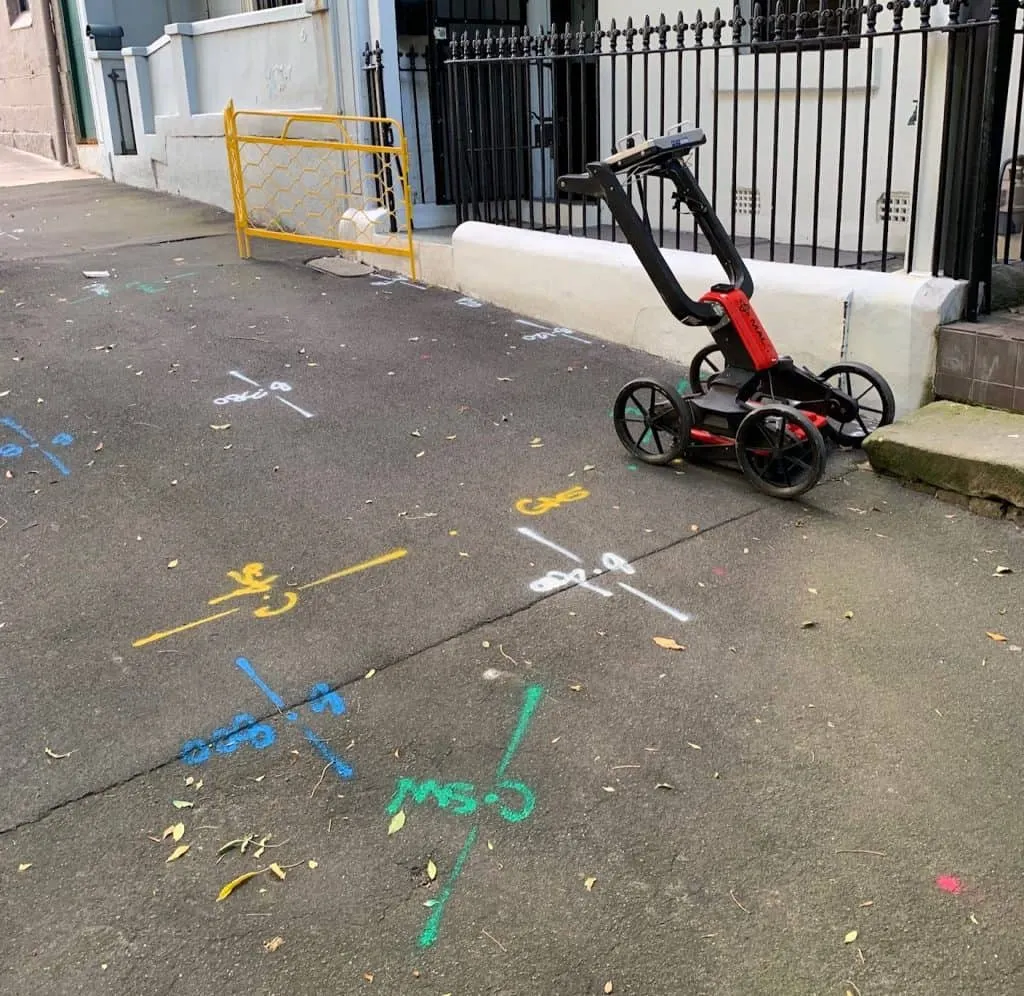
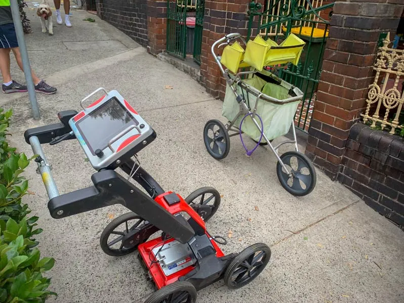
Locating underground utilities normally requires a combination of different methods so that you can successfully locate any underground pipes and cables on your excavation site. Geoscope use both electromagnetic and ground penetrating radar locating devices for 3D scanning in combination with the DBYD plans.
Utility Strategy
You need to have a strategy in place to protect any utilities and prevent damage. Ideally, you should be completing risk assessments and creating a strategy throughout the entire project from beginning to end.
It’s your responsibility to communicate this strategy and any outcomes of the risk assessment to your crew. If necessary, based on the risk assessment, you may need to make arrangements with each utility owner in order to disconnect, de-activate, isolate or discontinue the utility service before you begin any work close to the utility location.
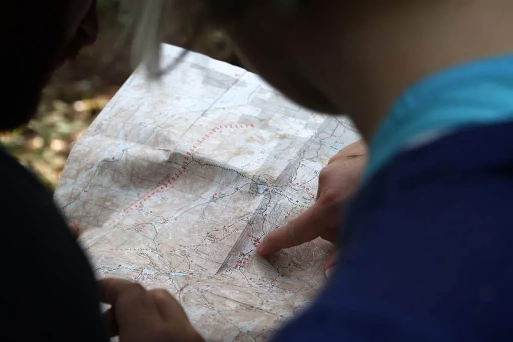
Obtaining Dial Before You Dig (DBYD) plans
You can get hold of information about any underground utilities on your excavation site by submitting a ‘Dial Before You Dig’ request. It’s a free service, and very straightforward to use, but you’ll need to allow 48 hours to receive the plans from the asset owners, so make sure to work that into your project timescales.
Dial Before You Dig is a great starting point to give an indication of the location of any underground utilities on your site. But it is just that, an indication.
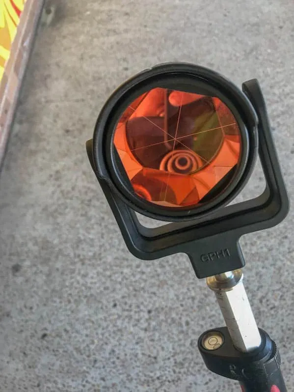
On-site service detection
Once you have all the DBYD plans, you’ll need to carry out on-site utility detection. This can be done via various methods, but we highly recommend a combination of electromagnetic and ground penetrating radar locating methods.
Both electromagnetic and GPR locating devices should only be used by certified locators like Geoscope technicians.
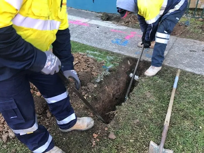
Physical Identification via Potholing
Using locating devices is excellent for confirming the existence of pipes and, to some extent, the type of utility. However, in order to meet the highest safety standards you need to follow this up with visual verification. This is normally done via potholing: digging using non-destructive excavation methods in order to expose the utility.
We always advise that potholing is completed on site before you beging digging. Some asset owners do insist that you expose any pipes, cables or other assets before you begin work, so it’s imperative that you check any instructions provided with the DBYD plans.